Big Trees Trail
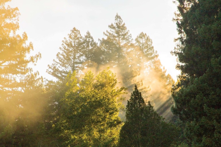
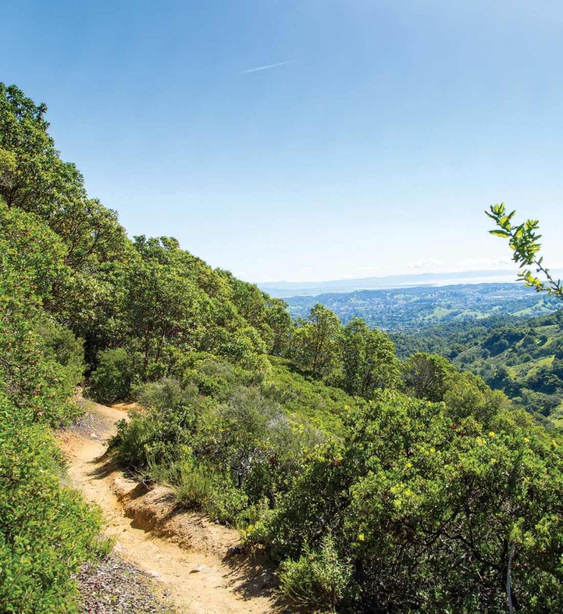
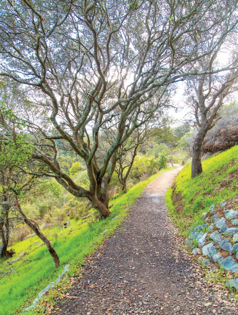
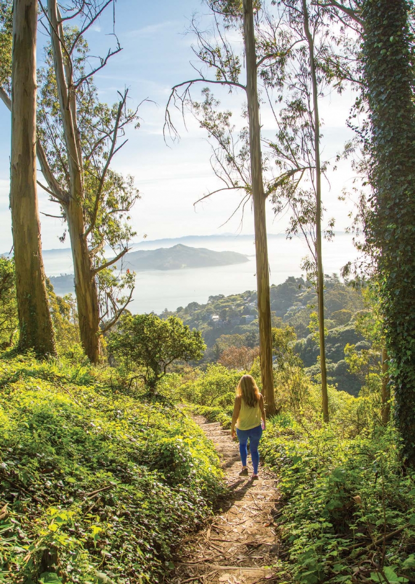
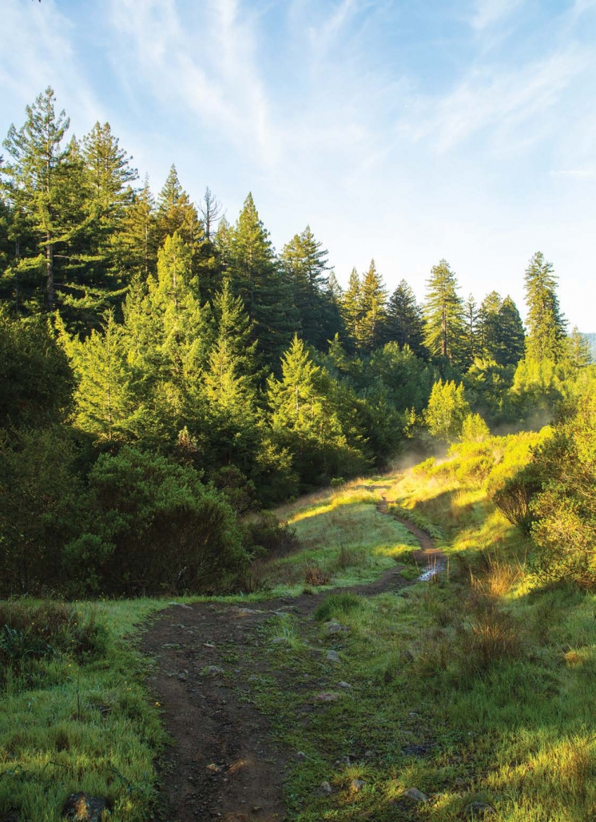
With multiple trail options tucked into a quiet part of Novato, Indian Tree Open Space Preserve provides hikers with wide-open single-track and fire roads, miles of wildflowers and sweeping valley views. If you are looking for the road less traveled, start at the Vineyard Road trailhead and take Upper Meadow Trail to Big Trees Trail, where you will begin your quiet ascent up the ridge to more than 1,400 feet. Multiple switchbacks reveal an ever-changing canopy of trees from oak to madrone to a redwood grove at the top. And once you drink in the views from that top, it’s all downhill — literally — to get back to where you started.
LENGTH 5.5 miles round-trip
AMENITIES None
PARKING Ample roadside
KNOWN FOR Views of Stafford Lake, ridgeline redwoods
DOGS Yes
WATCH FOR Wet trails can make for a slick descent
DIRECTIONS Take Highway 101 to Exit 463. Follow San Marin Drive to Sutro Avenue; take a right on Vineyard Road. Drive to the end of the pavement to locate the trailhead.
Tomales Point Trail
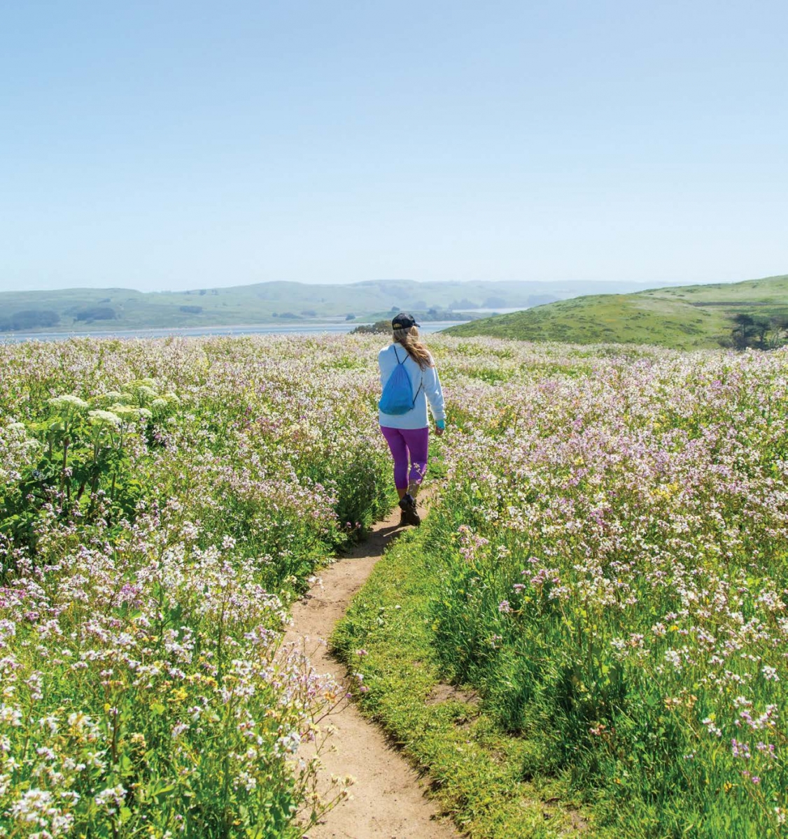
There is a reason Tomales Point Trail is popular. With wraparound views of Bodega Bay, Tomales Bay and the Pacific, you will be surrounded by nature’s splendor and, most likely, many fellow hikers. But there is plenty of space to share on this wide-open trail that takes you to the tip of Tomales Bluff, and you might be rewarded with elk sightings along the way. The trail is well maintained until Lower Pierce Point Ranch, where it becomes sandy out to the tip. Avoid crumbling cliff tops and eroding bluffs by staying on the main trail.
LENGTH 9.5-mile loop
AMENITIES Restrooms at McClures Beach
PARKING Lot (limited)
KNOWN FOR Abundance of wildlife, including tule elk, pelicans and cormorants
DOGS No
WATCH FOR Wind — trail offers little protection
DIRECTIONS Take Highway 101 to Sir Francis Drake/San Anselmo and drive west on Sir Francis Drake for 20 miles to Highway 1. Trailhead is at the end of Pierce Point Road.
Camino Alto Open Space Preserve to Bob Middagh Trail
Rambling, wide fire roads with lots of shade provide a prime place to bring your pooch. Enter on the Escalon Fire Road for a mostly flat walk that offers plenty of options once you get to Octopus Junction. Want to tackle some hills? Try Middle Summit Fire Road for plenty of steep climbs that can take you to Mount Tamalpais. Wanting Bay views? Duck onto Octopus Trail through the trees to Camino Alto Fire Road and then across Camino Alto to the gentle switchbacks of the newly improved Bob Middagh and restored Horse Hill trails. Follow Horse Hill Trail through the gate and be rewarded with San Francisco city views.
LENGTH 3.6 miles (to Horse Hill one-way)
AMENITIES None
PARKING Ample roadside
KNOWN FOR Views and steep ascents
DOGS Yes
DIRECTIONS From Highway 101, exit East Blithedale/Tiburon Boulevard and drive west on East Blithedale. After .8 mile, turn right onto Camino Alto, then left onto Overhill Drive. Drive uphill and turn right onto Escalon Drive.
Loma Alta Open Space Preserve
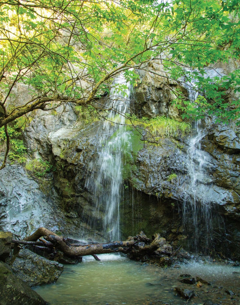
After a wet winter with plenty of runoff, Marin becomes home to a number of spectacular waterfalls. Looking for a hidden gem? Climb your way to the 25-foot cascade known as Fairfax Falls. To get to the summit, start out on Glen Fire Road toward Smith Ridge Fire Road, and prepare for one steep ascent. As you climb, pause to catch the beautiful vistas around you (as well as catch your breath), from Mount Tam to Mount Diablo. Continue to the summit by taking Gunshot Fire Road and pause once again for the best views. Retrace your steps and turn left onto Old Railroad Grade, where you’ll discover the waterfall.
LENGTH 5-mile loop
AMENITIES None
PARKING Roadside
KNOWN FOR Runoff streams, waterfalls and breathtaking views of San Francisco Bay
DOGS Yes
WATCH FOR Steep ascents and descents
DIRECTIONS Take Highway 101 in San Rafael and exit at Central San Rafael West. Follow Third Street 1 mile to Second Street, merge onto Fourth Street and continue as it becomes Red Hill Avenue. Then stay right on Sir Francis Drake and follow it for 3 miles, turning right onto Glen Drive.
Morning Sun Trail to SCA Trail
Early risers will be rewarded with stunning sunrise views on the aptly named Morning Sun Trail. Climb the 200-plus steps from Spencer Avenue and find a perfect perch to view Angel Island. Head back the direction you came and connect up with the SCA Trail (at the paved road, stay to the right), which edges Rodeo Valley, with views out to the Pacific on a clear day. As you round the hillside, the towers of the Golden Gate Bridge will come into fuller view with every step. Go on a day when the fog is light to get the full impact.
LENGTH 4.8 miles round-trip (Morning Sun is .5 and SCA is 1.9 one-way)
AMENITIES Restrooms at Golden Gate Bridge vista point
PARKING Free on service road or in Park & Ride lot
KNOWN FOR Beautiful sunrise vistas, sweeping bridge and Pacific Ocean views, and wildflowers throughout the hike
DOGS No
WATCH FOR Wet weather can make the steps slippery
DIRECTIONS Take Highway 101 south to Exit 443 for Spencer Avenue. Trailhead is 300 feet from the off-ramp on the right.
Roy’s Redwoods Loop Trail
Whether you want to stroll, saunter or slip into meditation, Roy’s Redwoods is the place. An easy loop trail will take you past shady spots, under towering trees and out into open meadows. And tucked inside the 293-acre Roy’s Redwoods Open Space Preserve are some of the largest coastal redwoods in the county, some reaching 200 feet. This is a nice hike for families with young children, and you’ll find plenty of spots to throw out the blanket for a picnic. The preserve is also home to wildlife species, including the endangered northern spotted owl.
LENGTH 2.3-mile loop
AMENITIES Horse trough, portable toilets
PARKING Ample roadside
KNOWN FOR Virgin redwood grove and no crowds, the setting for George Lucas’ The Ewok Adventure
DOGS Yes
WATCH FOR Can be hot and dusty in summer months, bring plenty of water
DIRECTIONS From Highway 101 in Larkspur, take the Sir Francis Drake exit and turn right onto Nicasio Valley Road. Gate is approximately .4 mile on the right.

