
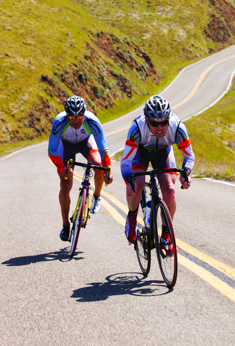
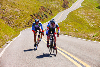
 Road Biking
1. Beginner – Paradise Loop
Known for its gentle topography, beautiful views and easy climbs, the Paradise Drive loop through Mill Valley and Tiburon is a Marin County classic.
- Take the Mill Valley Bike Path to Blithedale, then take a left and then your first right to Camino Alto for your one big climb on the ride, with a descent into the quaint town of Larkspur.
- At the bottom of the descent, turn right and ride over the freeway to Paradise Drive, where you turn right and wind through lush forest along the water.
- At the stop sign at Trestle Glen, stay to your left and continue your cruise into lovely Tiburon.
- Once into the town, continue on Tiburon Boulevard to the bike path on your left, opposite Mar West Road, where you will be afforded beautiful views of Richardson Bay.
- Once past the soccer field, take the path to the left and ride into the parking lot at Blackie's Pasture.
- Take Greenwood Beach Road to the light at Tiburon Boulevard and cross to the bike lane.
- Tiburon Boulevard turns into Blithedale Avenue as you ride over the 101.
- Take Blithedale past Lomita Drive and cross the street to return to the Mill Valley Bike Path.
2. Intermediate – Muir Woods Loop
Gain confidence in your cycling with this short ride, featuring 2,000 feet of climbing over 13 miles through the spectacular setting of Muir Woods National Monument.
- Take the Mill Valley Bike Path to Miller Avenue, taking a left to head to town.
- Turn left at La Goma and continue to Molino Avenue.
- Your ascent will begin as your ride from Molino to Edgewood to Sequoia Valley Road.
- You could also take Highway 1 from the bike path, but you will encounter far more vehicular traffic.
- At the junction of Sequoia Valley, Panoramic Highway and Muir Woods Road –– also known as Four Corners –– you will ride over the crest and enjoy a gorgeous descent into Muir Woods National Monument, with views out to the ocean.
- Muir Woods flattens out as it meets Highway 1.
- Want to stop for lunch? Make a pit stop at the Pelican Inn, a quaint B&B featuring traidional English fare. But know that you have a steep ascent ahead of you, so you may want to pass on a second helping of bangers and mash.
- The Highway 1 climb is 600 feet over two miles that will take you by the beautiful Green Gulch Farm Zen Center.
- Continue on Highway 1 for a more technical descent back to the Bike Path, or turn left onto Panoramic Highway to return to Four Corners and descend the way you came up.
3. Advanced – Alpine Dam Loop
See all that Marin has to offer on this 35-mile ride, from several quaint main streets to valleys full of redwoods to several fantastic climbs overlooking the Pacific Ocean.
- Take the Mill Valley Bike Path and go left on Blithedale, and your first right on Camino Alto for your first ascent of the ride.
- Ride 1.2 miles and 300 feet up and over the hill into Larkspur, where you’ll encounter quick flats and quaint towns as you make your way along Magnolia Avenue.
- As you enter into Kentfield, you hit a stop sign; stay to the left to take Kent Avenue.
- You will ride into the town of Ross next as Kent turns into Poplar.
- At the end of this road, just past the Ross Common Park, you will turn left and then right onto the tree-lined Shady Lane.
- At the end of Shady Lane, turn right and then left at the light onto San Anselmo Avenue, which will take you through the very heart of its namesake town.
- Stay on San Anselmo Avenue, which veers to the left as you exit the town proper, and ride through the neighborhood to Fairfax as the road turns into Lansdale.
- At the road’s end, turn right on Pastori and left on Center Boulevard just by the Good Earth Natural Foods store.
- Continue along Center and take a left on Bolinas Road, at the Fairfax Coffee Roastery.
- Bolinas Road takes you to your next ascent as you climb among the trees.
- This 950 foot climb will take you past the Meadow Club Golf Course, signaling you are 2/3 done with this particular climb.
- Once you finish, you will descend among rolling hills to the Alpine Dam, a great place to refuel and take in some seriously beautiful views.
- Now back on your bike, you will begin your 2-mile climb through gorgeous redwoods, a steep, winding, 800-foot climb that will take you to Ridgecrest Boulevard.
- Take a left and after a few rolling hills, exit the forest.
- Welcome to the famous Seven Sisters. You’ll recognize the breathtaking views from many a car commercial. And they are breathtaking for more than one reason, with seven steep short climbs that will require some serious effort.
- After you summit the Sisters, you can know that you’ve completed all the climbing required for this route when you come to the Rock Springs Parking Lot.
- From here take a right onto Pantoll Road and enjoy your reward: beautiful oceans view and a winding, fast descent, down to the Pantoll Ranger Station. Note that Pantoll Ranger Station has public restrooms and a water fountain.
- From Pantoll Road, go left onto Panoramic Hwy for more winding descents through beautiful redwoods.
- For the quickiest way back to the Mill Valley Bike Path, continue on Panoramic to Highway 1, but for less cars, take a left onto Sequoia Valley Road to Edgewood to Molino.
- This will drop you into Mill Valley where you can reward yourself with a well-earned feed at Joe’s Tacos on Miller.
Mountain Biking
1. Beginner – China Camp
Those new to mountain biking will love this flowing single-track in San Rafael. A 12-mile loop with some moderate climbs and descents, the trail also feature beautiufl bay views.
- To enter the park, take the North San Pedro Road exit off the 101 and park in the China Camp Village parking lot, about 3 miles from the entrance to the park.
- Take the Village Trail to Shoreline Trail to begin your ride overlooking San Pablo Bay through miles of marshland, heading west into the park.
- This easy singletrack will end at the Bayview Trail, where you go left.
- The Bayview Trail features a short two miles of switchback climbs, with the reward of a rollingn descent for several miles.
- Bayview will end at Oak Ridge Trail; stay on Oak Rdige for singletrack back to your starting point on Shoreline.
- China Camp State Park was originally a shrimping village during the 1800s, prominently fished by Chinese natives of the Kwantung Province.
- Some of the original buildings still stand today at China Camp Village, along with interpretive exhibits about life at the village.
2. Intermediate – Camp Tamarancho Loop
For more technical single-track, head to Camp Tamarancho trails –– 12 miles and 1,750 feet of advanced climbing and descents. Day passes available at Sunshine Bicycles in Fairfax.
- Camp Tamarancho was built specifically for single-track riding.
- Park near or in downtown Fairfax as there is no parking adjacent to the trais.
- Gor north on Broadway Blvd. and look for bike route signs to Rockrdige, which turns into Iron Spring Road.
- This path will lead you directly to a trailhead that is the beginning of Alchemist Trail.
- This section of the ride has several switchbacks over a steady climb and descent that will provide your first challenge.
- You'll continue onto Goldman Trail, a less technical trail with some mil ups an downs until you get to the fire road.
- Cross over onto Serpentine Trail to tackle a healthy climb and some interesting features such as "the rock," a rideable boulder. Either ride over or take the well-marked bypass route, and continue into multiple switchbacks as the trail ends at a dirt road.
- Cross over to the Wagon Wheel Trail, which is more technical with lots of rock to handle amid easier sections. As you end with a climb, take the fire road to the barricade and pick up the B-17 Trail for more single-track and an easy cruise through shade and redwoods.
- You will reach a fork where you have the choice between Broken Dam Trail or the B-17 Extension if you want to lengthen your ride. If you take the Broken Dam Trail, you will be rewarded with a fun, partly technical descent through the trees. The trail ends with a climb back to Goldman, and finally onto Alchemist to complete your loop.
3. Advanced – Mount Tamalpais Summit
This 2,400-foot climb is well worth the reward. From downtown Ross, the trail offers up some steep climbs, rock obstacles and sharp switchbacks before revealing its sweeping 360-degree views.
- Take the 101 North to Sir Francis Drake Boulevard, and drive into the town of Ross.
- Go left on Lagunitas Road to the trailhead at Natalie Coffin Greene park. This trail leads to Eldridge, where you will go left onto the fire road and begin some serious climbing.
- As you near the top of Eldridge, you’ll find the trail littered with loose rock, so be prepared.
- The reward at the end of this tough ride is ocean and bay views from the East Peak.
- For a easier descent, take Old Railroad Grade to Hoo-Koo-E-Koo Trail back to Eldridge, which will offer more spectacular views with less loose rock to endure.
Sidebar
Want to brush up on your street skills or learn how to safely ride with your little ones? The Marin County Bicycle Coalition offers a variety of cycling classes, including Basic Street Skills, Family Biking workshops and classes just for women, taught by women. marinbike.org
Ready to race? the 52nd Marin Century and Mount Tam Double will run August 2, with multiple options including a 50k, 100k, 200k, 100-mile and 200-mile ride. marincyclists.com
