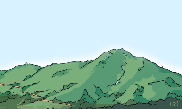
Our mountain. Looming high above our towns and serving as a regal centerpiece for the county, Mount Tamalpais can be spotted from miles away. For some it is a homecoming beacon and for others the sight means a day of adventure lies ahead. Our famous backyard mountain can easily absorb the thousands of hikers scrambling up and down its trails or the bikers weaving through rocks and roots, thanks to the work of the newly created One Tam, which aims to unite resources, plans and care for the mountain. Drive or walk to the top and enjoy views of the entire Bay Area. We recommend strolling the 0.7-mile Verna Dunshee Trail for an easy, paved path around the top with lookouts and perfectly positioned benches.

BACK IN TIME Time your trip to the top to check out the new one-room history museum at the summit. Open Saturday and Sunday noon to four; check the website for updates. friendsofmttam.org

FIRST FESTIVAL The 1967 Fantasy Fair and Magic Mountain Music Festival, a two-day rock fest on Mount Tam held a week prior to Monterey Pop, is considered the first large-scale, multiact outdoor rock show, the prototype of the modern rock festival.
ROCK STARS The Cushing Memorial Amphitheatre first opened in 1913, but the serpentine rocks weren’t installed until 1933, by the Civilian Conservation Corps.
 LIVING LEGACY The West Point Inn was built in 1904 as a stopover for the passengers of the Gravity Train. Now the cabins are available to rent.
TOP OFF In 1950 the U.S. military shaved 28 feet from the West Peak to make room for an air force station.

CLAIM IT According to some, the sport of mountain biking was created here; we won’t argue. Either way, it’s a mecca for fat-tire types.
NOT TRUE The Sleeping Lady moniker was created by Dan Totheroh for a 1921 Mountain Play of the same name. It was not from a Coast Miwok folktale, as is often falsely reported.
TWIST ’N’ TURN Named the Crookedest Railroad in the World, the Mount Tamalpais Scenic Railway boasted 281 curves and went up 2,200 feet from the Mill Valley Depot to the top of the mountain at 10 mph.

GIANT GOLF BALL? Nope, it is a Cold War–era air defense radar station built on the West Peak on land leased to the War Department by the Marin Municipal Water District.
THE PAST Coast Miwok Indians lived around Mount Tam for thousands of years until the Spanish explorers arrived in the 1770s. Unlike today’s inhabitants, the Miwok avoided the summit, fearing evil spirits.
Tam Stats
ELEVATION
2,576 feet
HIGHEST ACCESSIBLE SUMMIT
East Peak, 2,571
CAMPGROUNDS
5
CAMPSITES
57
MILES OF TRAILS
200
VISITORS PER YEAR
5 million
TYPES OF PLANTS
750
ANIMAL SPECIES
350

Mimi Towle has been the editor of Marin Magazine for over a decade. She lived with her family in Sycamore Park and Strawberry and thoroughly enjoyed raising two daughters in the mayhem of Marin’s youth sports; soccer, swim, volleyball, ballet, hip hop, gymnastics and many many hours spent at Miwok Stables. Her community involvements include volunteering at her daughter’s schools, coaching soccer and volleyball (glorified snack mom), being on the board of both Richardson Bay Audubon Center. Currently residing on a floating home in Sausalito, she enjoys all water activity, including learning how to steer a 6-person canoe for the Tamalpais Outrigger Canoe Club. Born and raised in Hawaii, her fondness for the islands has on occasion made its way into the pages of the magazine.


